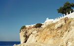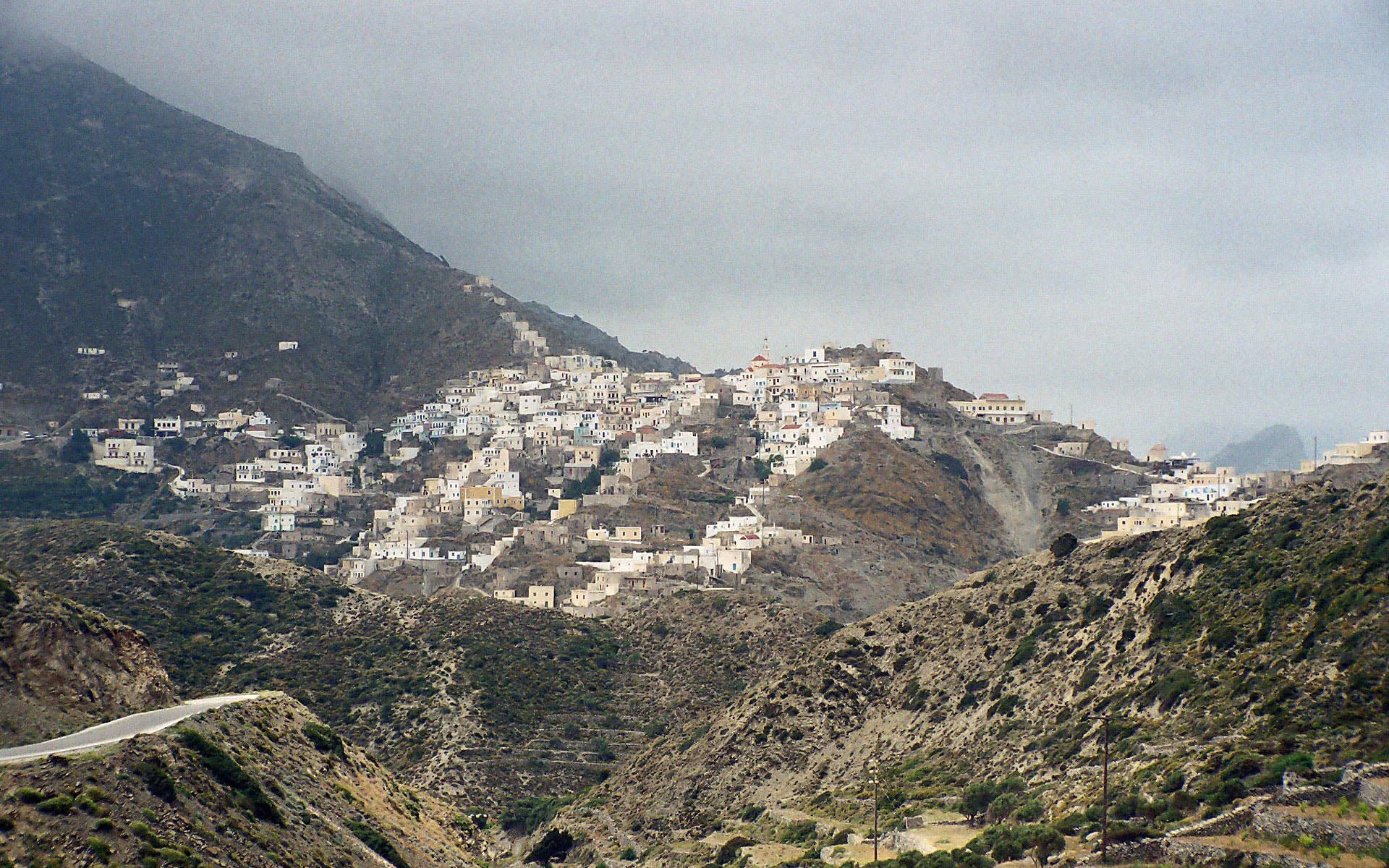
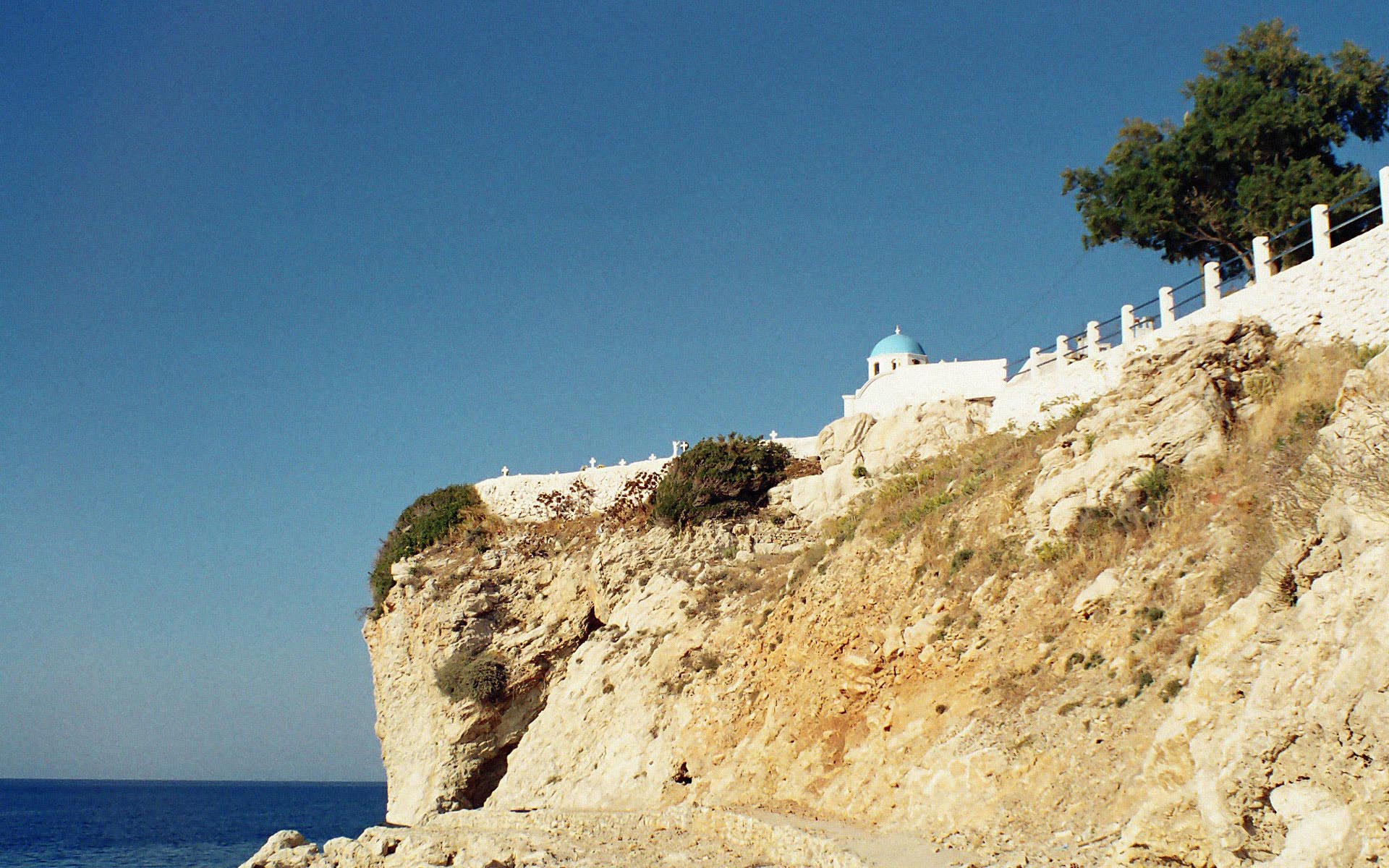

Olympos is a village and a former community on the island of Karpathos, in the Dodecanese. The houses, lying on the slopes of a mountain, have been built according to the traditional style and generally inhabitants try to keep traditions alive. One could say that the whole village is a live museum that gets idyllic when the clouds come down and surround them.
Karpathos is the second largest of the Greek Dodecanese islands, in the southeastern Aegean Sea. From its remote position Karpathos has preserved many peculiarities of dress, customs and dialect, the last resembling those of Crete and Cyprus. Karpathos' highest point is Mt. Lastos, at 1,215 metres. In the southeast of the island you can find Pigadia, capital and main port of the island.
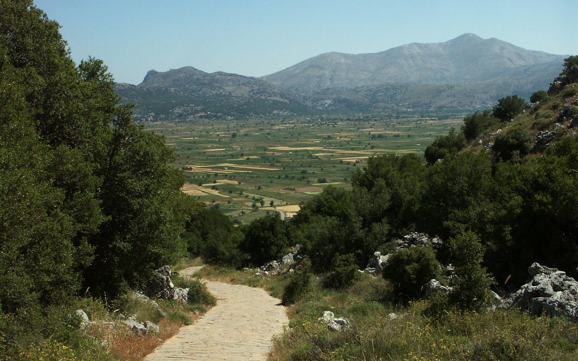
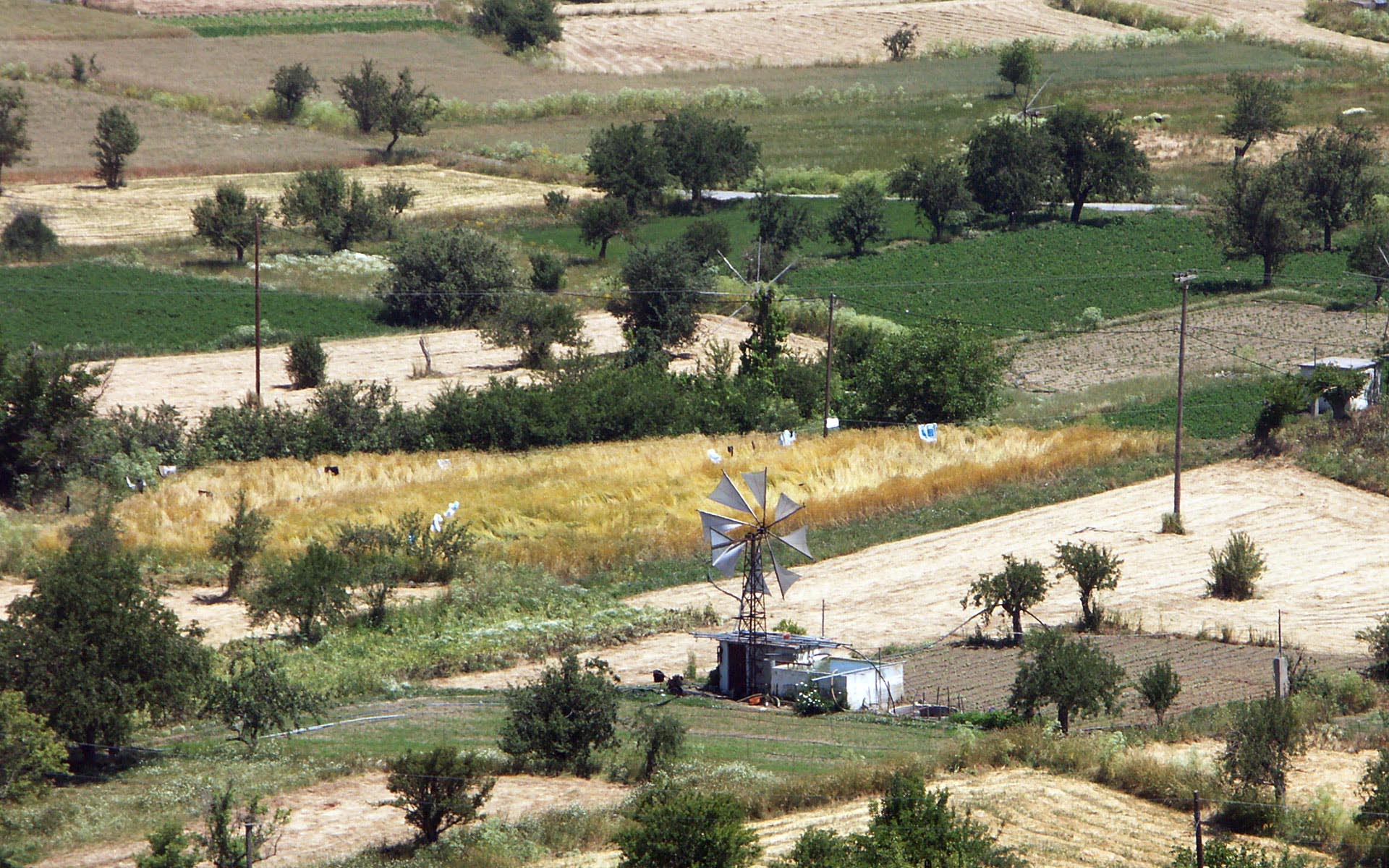
Oropedio Lasithiou or Lasithi Plateau is a large scenic plain, located in the Lasithi peripheral unit in eastern Crete, Greece. It stretches 11 km in the E-W direction and 6 km in the N-S direction. It lies at an average altitude of 840 m which makes it one of the few permanently inhabited areas of such altitude around the Mediterranean.
Lasithi plateau is famous for its white-sailed windmills that have been used for decades to irrigate the land. Despite their vast number (some 10,000) in the past, most of them have been abandoned nowadays in favour of modern diesel and electrical pumps.
The city of Chania can be divided in two parts: the old town and the modern city which is the larger one. The old town is situated next to the old harbour and is the matrix around which the whole urban area was developed. It used to be surrounded by the old Venetian fortifications that started to be built in 1538; of them the eastern and western parts have survived.
The Topanas area in Chania is generally very picturesque, with many narrow alleys and old charming buildings, some of which have been restored as hotels, restaurants, shops and bars. This makes it a lively and colourful place especially during the warm period.
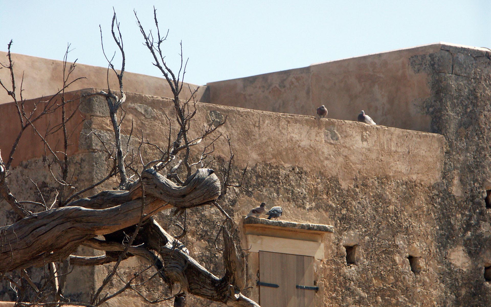
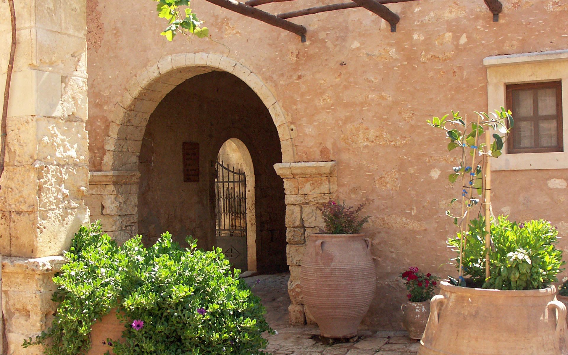
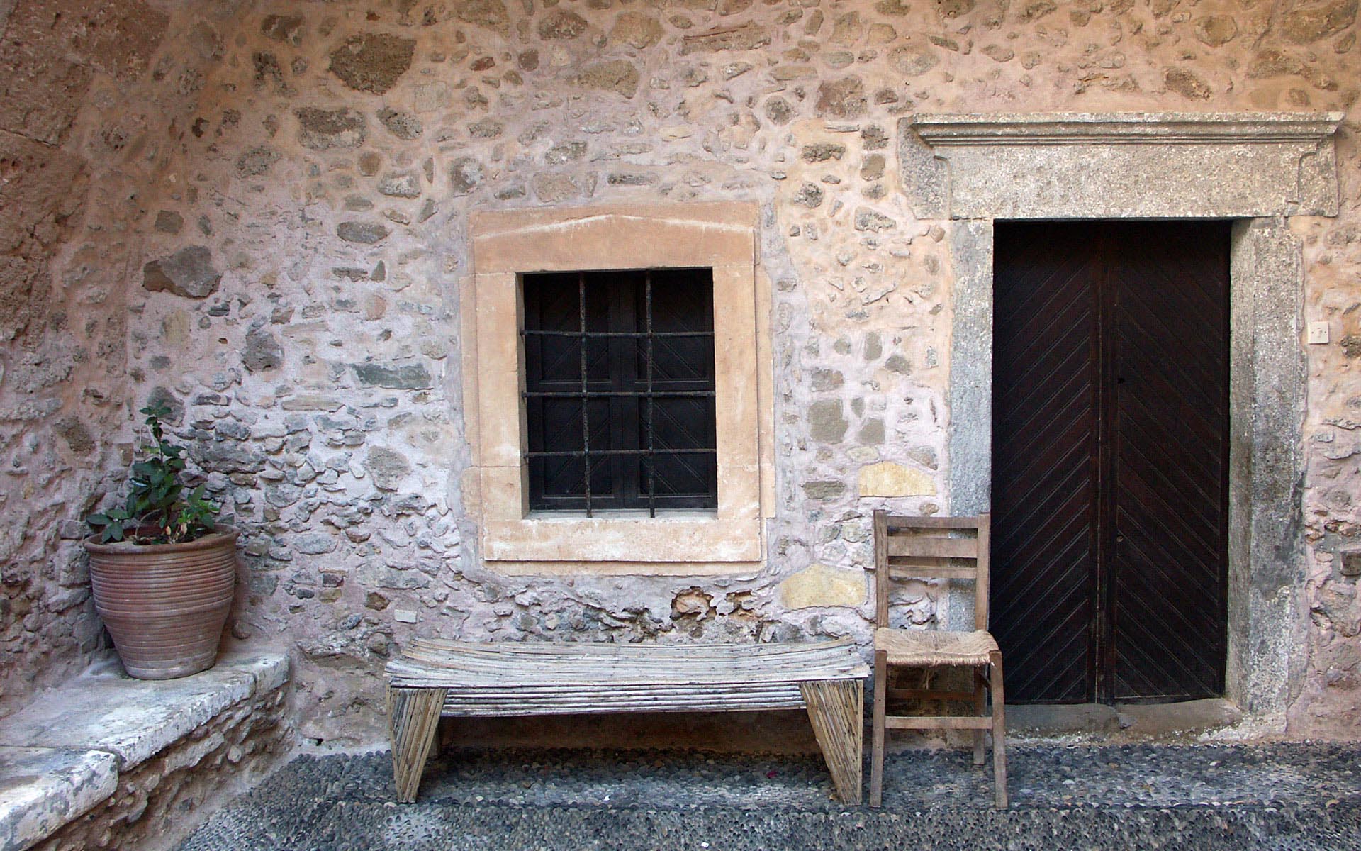
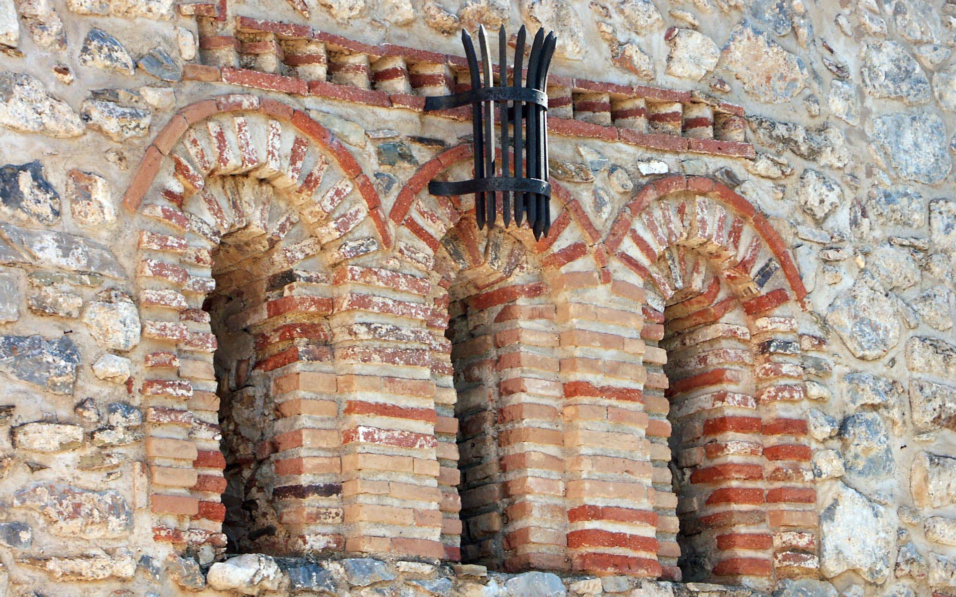
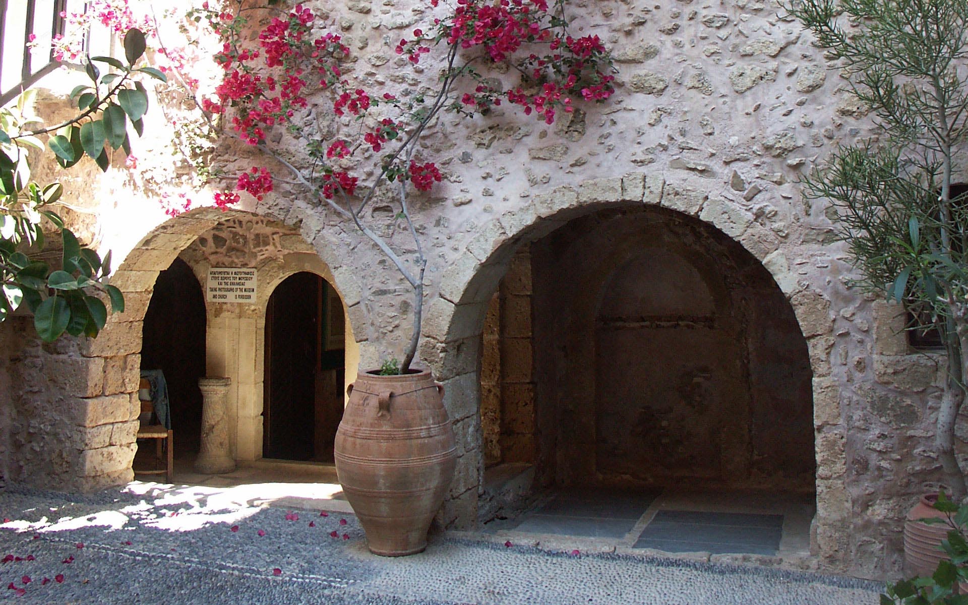
The monastery of Arkadi is an Eastern Orthodox monastery, situated on a fertile plateau 23 km to the southeast of Rethymnon on the island of Crete.
The Arkadian region is fertile and has vineyards, olive groves and pine, oak and Cyprus forests. The plateau on which the monastery rests is surrounded by hills. The west side of the plateau stops abruptly and falls off into gorges. The gorges start at Tabakaria and lead to Stavromenos, to the east of Rethymno. The Arkadian gorges have a rich diversity of plants and native wildflowers.
Arkadi Monastery is in the shape of a nearly rectangular parallelogram. The interior resembles a fortress and is 78.5 metres long on the north wall, 73.5 meters on the south wall, 71.8 metres on the east wall and 67 metres on the west wall. The total area of the monastery is 5200 m².
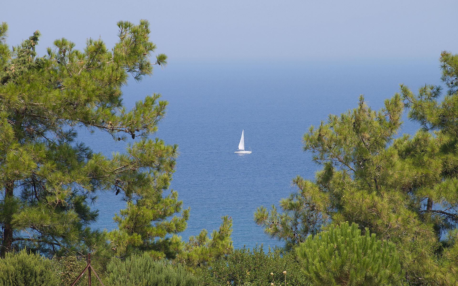
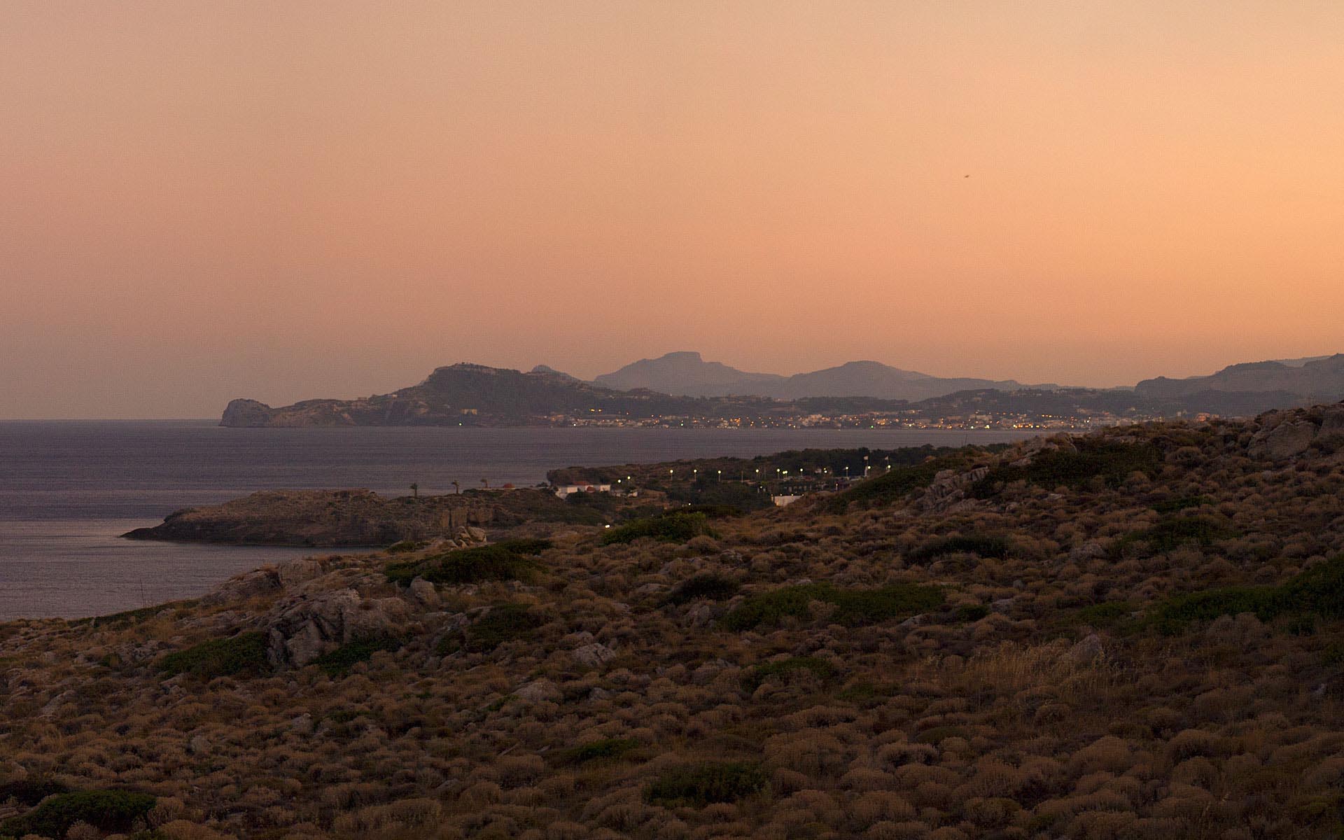
Rhodes is located in the eastern Aegean Sea. It is the largest of the Dodecanese islands in terms of both land area and population. Rhodes is closer to Asia Minor than to the Greek mainland.
The city of Rhodes is situated in the north-east tip of the island and forms a triangle from north to south. It is the smallest municipality of the island in terms of land area and the largest in population. It borders with the Aegean Sea in the north, the east and the west and with the municipalities of Ialysos and Kallithea in the south.
The island of Rhodes is shaped like a spearhead, 79.7 km long and 38 km wide, with a total area of approximately 1,400 km² and a coastline of approximately 220 km.
Faliraki is the primary seaside resort village on Rhodes.
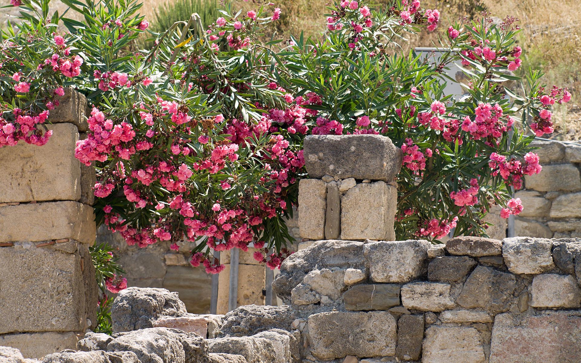
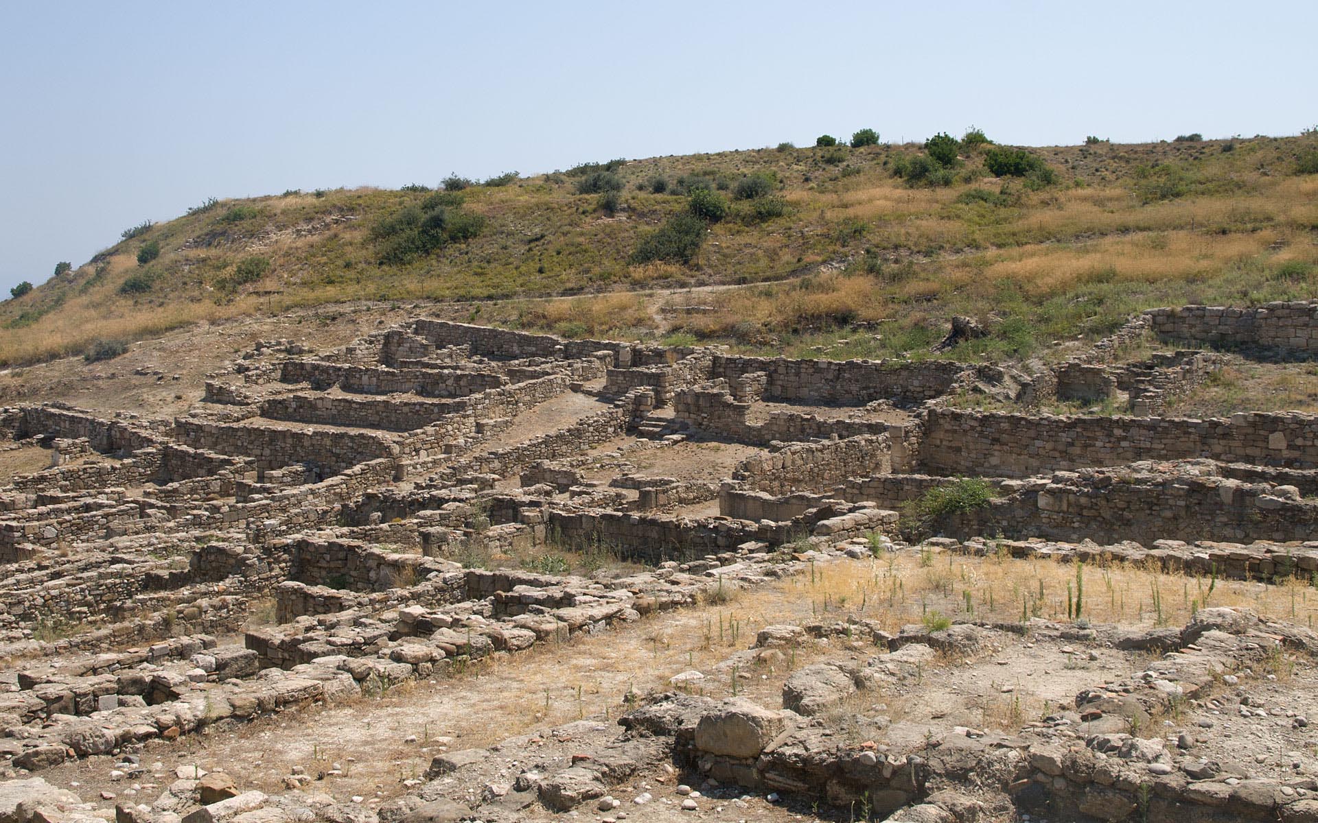
Kameiros lies on the northwest coast of the island. It was the heart of an agricultural region, and constituted one of three city states on Rhodes. The ancient city was built on three levels. At the top of the hill was the Acropolis, with the temple complex of Athena Kameiras and the Stoa.
A covered reservoir having a capacity of 600 cubic meters of water - enough for up to 400 families - was constructed about the sixth century BC. Later, the Stoa was built over the reservoir. The Stoa consisted of two rows of Doric columns with rooms for shops or lodgings in the rear.
The main settlement was on the middle terrace, consisting of a grid of parallel streets and residential blocks. On the lower terrace are found a Doric Temple, probably to Apollo; the Fountain House, with the Agora in front of it; and Peribolos of the Altars, which contained dedications to various deities.
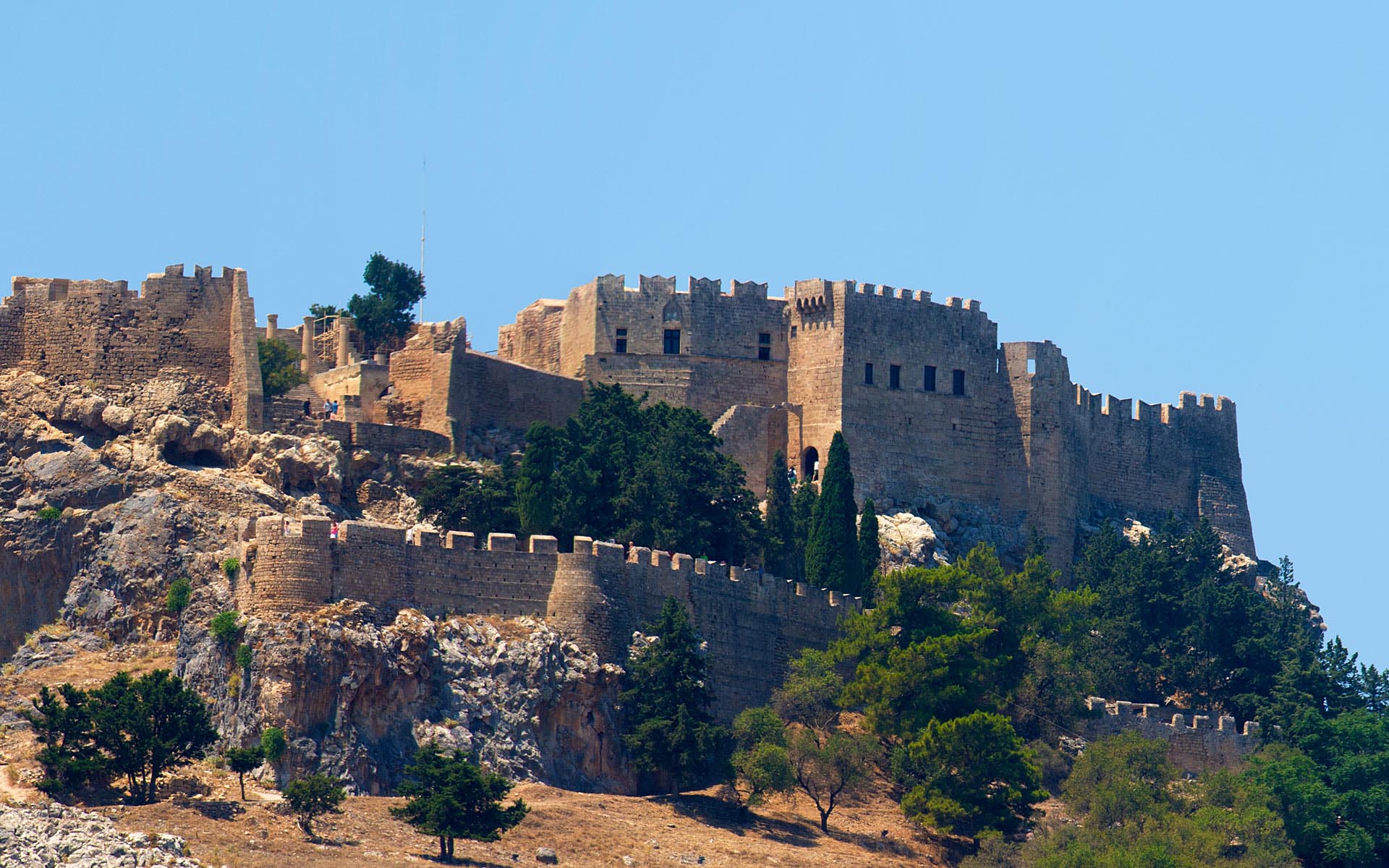
Lindos is situated in a large bay and faces the fishing village and small resort of Haraki. Above the modern town rises the acropolis of Lindos, a natural citadel which was fortified successively by the Greeks, the Romans, the Byzantines, the Knights of St John and the Ottomans.
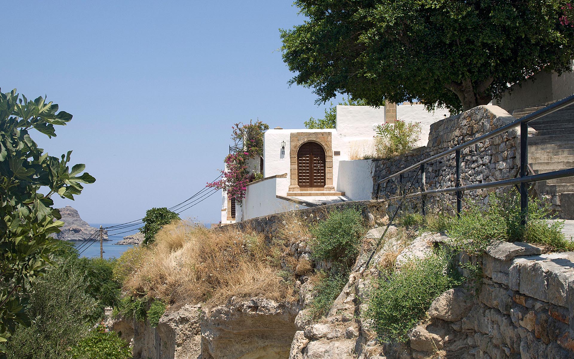
Lindos is a maze of little alleys with shops, bars and restaurants mixed with medieval walls, simple architecture, with wonderful black and white "chochlaki" pebbled floors and painted ceilings.